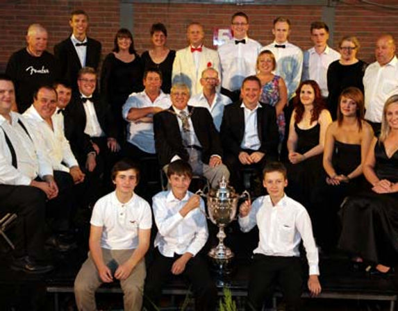
Dronfield Genquip Band
Dronfield is situated in North East Derbyshire between Sheffield, to the north, and Chesterfield, to the south and consists of the three communities of Dronfield, Dronfield Woodhouse and Coal Aston. It is encircled by "Green Belt" and is only 3 miles from the Peak District National Park.
Little is known of Dronfield's early history other than a brief mention in William the Conqueror's Domesday Survey of 1086.
Dronfield is home to a number of mediaeval buildings. The Gothic parish church of St. John the Baptist dates from 1135 though there is evidence that the site may have been used prior to this date. The Green Dragon Inn, opposite the church, had religious connections early in its history but is thought to have been converted to its present use shortly after Henry Vlll's dissolution of the monasteries in the mid-16th century.
From the 16th century through to the 19th, Dronfield's prosperity was founded on diverse industries such as; coal mining, agriculture, charcoal burning, spinning, weaving, dyeing, tanning, soap making and steel refining. The Lucas foundry which was situated on "Dronfield Bottom" manufactured a number of iron products and is said to have manufactured cannon balls during the Napoleonic Wars. Apart from the remaining stone archway the foundry buildings have all been demolished and the site is now a public park.
The Council's Crest which has been adopted by the Dronfield Band is an amalgamation of various items of local significance. At the top is the Cavendish Stag; the body of the crest depicts the town's agricultural and industrial past and in the centre is the Derbyshire Rose. The checkerboard design is part of the original seal of Dronfield's Henry Fanshawe school founded in 1568.


